Terrain Stability
Senior-led Terrain Stability Assessments for resource operations across British Columbia.
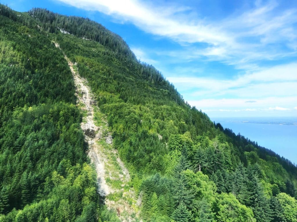
In steep BC terrain, logging decisions are not abstract.
Slope angle, soil structure, drainage, and downslope consequences determine whether resource development proceeds conventionally, requires modified development methods or should not be done at all.
Our role is straightforward: assess instability risk, evaluate consequences, and provide recommendations that hold from field call to final report.
When Clients Call Us
A Terrain Stability Assessment is typically required when:
Our process emphasizes:
In any resource development operations, TSAs are not optional—they are part of responsible planning.
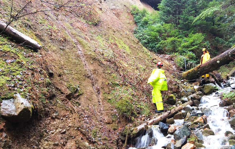
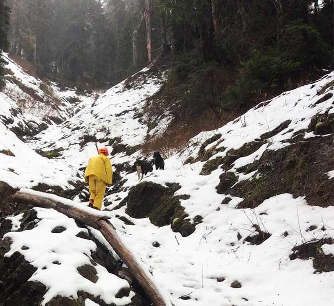
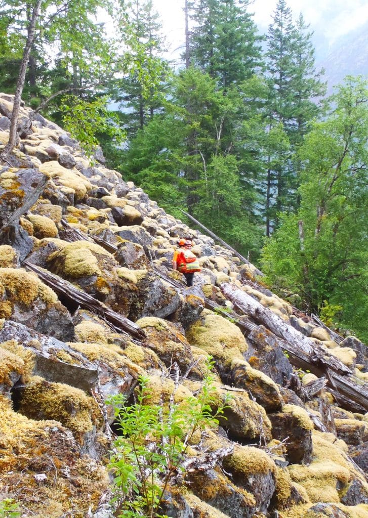
What We Do in the Field
Each assessment integrates mapping, field observation, and professional judgment.
We evaluate:
We assess the site in the field —not just how it appears on mapping.
Hazard Classification & Landslide Initiation Potential
At the core of a TSA is hazard classification and landslide initiation potential.
The key question is practical:
If this area is to be developed for resource extraction, what is the realistic probability of landslide initiation—and under what conditions?
We provide clear classification and rationale, grounded in field conditions.
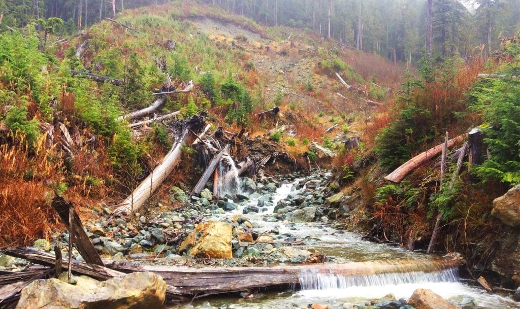
Downslope Consequences & Sediment Delivery
Risk is not defined by the potential for a landslide to occur. Consequence matters.
We assess:
Distance alone does not define impact. Real-world terrain features influence whether sediment will dissipate—or reach a sensitive receptor.
Framework informs our work. Field judgment refines it.
Construction Method Guidance
Road construction method techniques can materially influence stability outcomes.
On stable slopes, conventional cut-and-fill construction may be appropriate. On steep or sensitive terrain, side-casting excavated material can significantly increase failure risk. In those cases, specialized road construction techniques may be required.
We provide clear, practical guidance on construction techniques. Methods should change—and where conventional construction remains appropriate,
safer roads providing environmental protection and worker safety.
Rainfall Shutdown Recommendations
Moisture is almost always the significant contributing factor in landslide initiation.
Where instability concerns exist, we may recommend modified rainfall shutdown thresholds to reduce operational failure and increase worker safety during elevated precipitation events.
These recommendations are written for field implementation, not theory.
What Clients Receive
A typical Terrain Stability Assessment includes:
Reports are structured, professional, and aligned with regulatory expectations.
Consistency from Field to Final
Our team of experienced professionals ensures consistent and logical decision making from initial field observation through to final documentation.
Changing recommendations can be frustrating to any resource development team.
At Third Rock:
Clients can plan around our calls with confidence. Consistency reduces surprises.
Discuss Your Project
If you are planning resource activities whether its timber extraction or mining road access early terrain stability assessment supports project successes, safer crews, practical decisions, and fewer surprises.
Contact Third Rock Geoscience to start the conversation.
Clear calls. Practical mitigation. Consistent reporting.
