Geoscience Support
Senior-led geoscience expertise for complex terrain, watershed, and instability concerns
across British Columbia.
Not every terrain or stability issue fits neatly into a predefined assessment category.
Some projects require broader geohazard context. Others require focused investigation. In many cases, clients need experienced professional input early.
Third Rock Geoscience provides flexible, terrain-focused geoscience support grounded in BC field experience and professional accountability.
Beyond Standard Assessments
While Terrain Stability Assessments (TSA) and Karst Field Assessments (KFA) form the core of our work, we also support clients with:
These engagements range from high-level overview mapping to detailed field investigation.
The scale depends on the question being asked.
Professional Accountability
All geoscience support provided by Third Rock Geoscience is conducted to guideline standards of the Engineers and Geoscientists BC (EGBC).
Professional accountability means:
Where formal reporting is required, documentation reflects regulatory expectations. Where advisory input is requested, guidance is practical and proportionate.
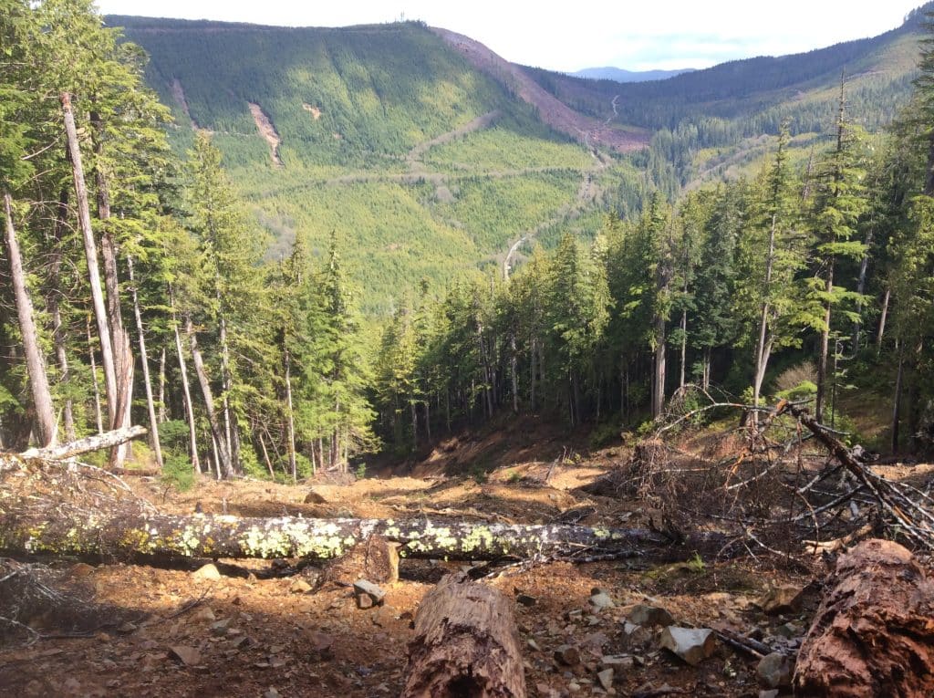
Landslide Investigation
Landslides are destructive.
When slope failure occurs—or when movement indicators raise concern—timely professional assessment matters.
We evaluate:
Understanding why a slope failed informs both remediation and future operational planning.
Where appropriate, findings are integrated into broader terrain management strategy.
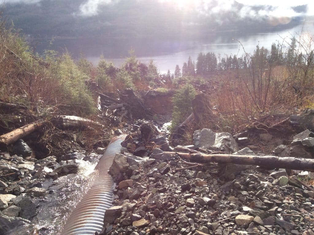
Sedimentation & Erosion Assessment
Sediment transport can be driven by subtle changes in drainage or disturbance.
We assess:
As with terrain stability, sediment delivery potential is not defined solely by distance. Real-world hydrology and landscape context inform our conclusions.
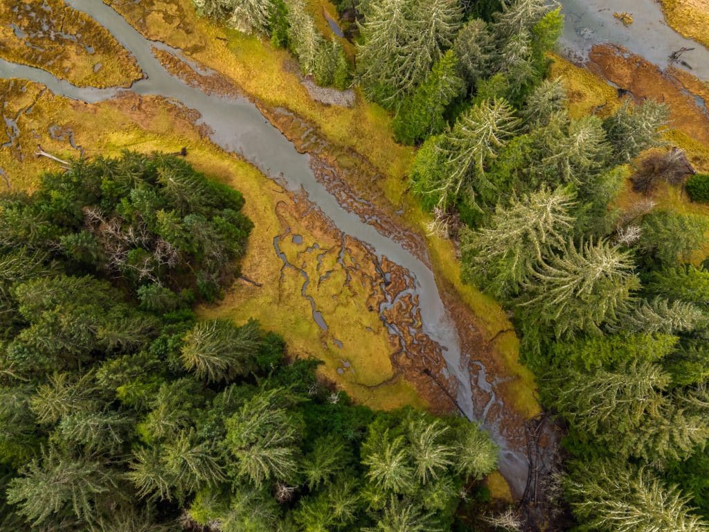
Terrain Ecosystem Mapping (TEM) Support
Terrain and ecosystem characteristics are interconnected.
We provide terrain-focused input that supports broader mapping and planning initiatives (e.g. phase 1 environmental assessments) ensuring that slope stability considerations are integrated alongside ecological values.
Our experienced team of professionals provides accurate classification and interpretation.
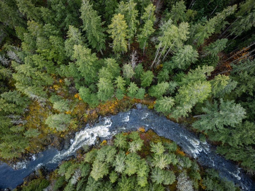
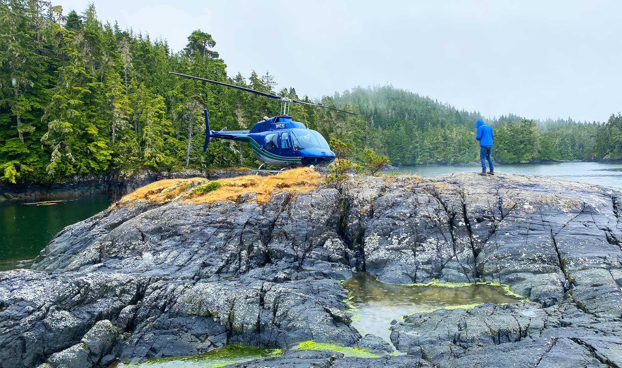
Watershed & Overview Assessments
Some projects require a broader lens.
Watershed-scale or overview terrain assessments may evaluate:
These assessments are conducted at appropriate mapping scales and provide context for more detailed site-specific work.
Overview does not replace field validation—but it guides it.
Early-Stage Professional Input
Many terrain issues benefit from early discussion before formal assessment is required.
We frequently provide:
Early engagement can prevent avoidable redesign or regulatory friction later.
Consistency from Field to Final
Whether conducting a formal Terrain Stability Assessment or a targeted geohazard review, our recommendations made by experienced professionals ensure consistency from initial field observation through final documentation.
Clients can confidently move forwards with their projects. Our internal review process ensures alignment and clarity before deliverables are released.
Discuss Your Project
If your project involves steep terrain, slope instability, sediment risk, watershed sensitivity, or complex geohazard questions, early professional input supports safer operations and defensible decisions.
Contact Third Rock Geoscience to discuss your site conditions and objectives.
Experienced judgment. Practical guidance. Consistent reporting.
